Southwala Shorts
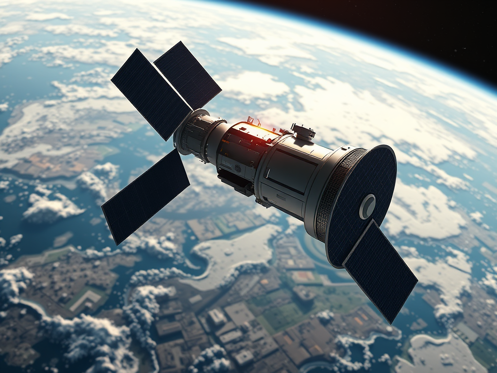
- NISAR, short for NASA ISRO Synthetic Aperture Radar, is one of the most ambitious Earth-observation missions ever developed.
- Built jointly by NASA and ISRO, the satellite will monitor Earth’s surface with unmatched precision, helping scientists track environmental changes, natural hazards, and long-term climate...
- The primary aim of NISAR is to map Earth’s land and ice surfaces with high detail and repeat coverage.
- The satellite uses advanced radar technology to capture surface movements as small as a few millimeters.

NISAR, short for NASA ISRO Synthetic Aperture Radar, is one of the most ambitious Earth-observation missions ever developed. Built jointly by NASA and ISRO, the satellite will monitor Earth’s surface with unmatched precision, helping scientists track environmental changes, natural hazards, and long-term climate patterns.
Purpose of NISAR
The primary aim of NISAR is to map Earth’s land and ice surfaces with high detail and repeat coverage. The satellite uses advanced radar technology to capture surface movements as small as a few millimeters. This data will help researchers study natural disasters, monitor agriculture, track glaciers, and understand the planet’s evolving ecosystems.
Technology Behind the Mission
- Dual-frequency radar: NISAR carries both L-band (from NASA) and S-band (from ISRO) radar systems. Together, they can penetrate vegetation, ice, and soil to detect subtle changes.
- Synthetic Aperture Radar (SAR): Unlike cameras that rely on sunlight, SAR uses radar pulses, allowing imaging during day or night and in all weather conditions.
- High revisit frequency: NISAR will scan the entire globe every 12 days, creating time-series data that captures how the surface changes over weeks, months, and years.
Key Applications
- Disaster monitoring: Earthquakes, landslides, tsunamis, and floods can be studied in near real time. Relief agencies can use this information to respond faster.
- Glacier and ice tracking: Polar regions and Himalayan glaciers can be observed for melting trends, providing crucial data on rising sea levels.
- Agriculture and food security: Crop growth, soil moisture, and land-use changes can be monitored, supporting farmers and policy-makers.
- Urban growth: Cities expanding into new areas or sinking due to over-extraction of groundwater can be mapped.
- Climate change research: Long-term changes in forests, wetlands, and coastal zones can be studied in detail.
India’s Role in NISAR
ISRO contributed the S-band radar, satellite bus, and launch services. The mission will be launched on India’s GSLV Mk-II rocket. This strengthens India’s position in space technology and highlights the growing partnership between NASA and ISRO.
Global Significance
NISAR is not just a scientific tool but also a global public good. Data will be shared openly with researchers, governments, and institutions worldwide. This transparency ensures that both developing and developed countries can use the information for climate resilience and disaster preparedness.
NISAR represents a landmark in space collaboration. By observing Earth with cutting-edge radar, it will provide insights into how the planet is changing at a time when climate risks and disasters are increasing. For India and the world, NISAR is a mission that connects space technology directly to life on the ground.
FAQs
1. Can NISAR work during cloudy or rainy days?
Yes, radar imaging works in all weather and at night, unlike optical satellites.
2. Can NISAR track glacier melting?
Yes, the satellite is designed to observe even small movements in ice sheets and glaciers.
3. Can NISAR data help farmers?
Yes, it can monitor crop health, soil conditions, and land-use patterns.
4. Can NISAR support disaster response?
Yes, it can provide rapid maps after earthquakes, floods, or landslides, guiding rescue operations.
5. Can India benefit directly from NISAR?
Yes, India gains critical data for agriculture, water management, urban planning, and disaster preparedness.
Author

Discover more from Southwala
Subscribe to get the latest posts sent to your email.